The following is provided by DC Severe Winter Weather:
Tomorrow morning, a quick moving storm will produce a burst of precipitation in the area. Despite warm temps the past few days, enough cold air will filter in that much of the area will experience a period of snow.
Amounts: About a coating to an inch inside the beltway. 1-2″ north of DC with 2-4″ in far northern Maryland. 4″+ amounts will be relegated to Pennsylvania and ridgelines in northern Maryland. These amounts are grass and cartop accumulations; snow will have trouble sticking to roads.
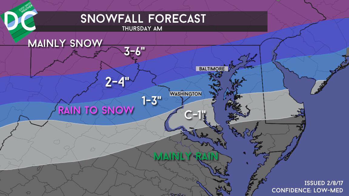 Timing: Rain overspreads the area around midnight. Rain will turn to snow between 3 and 6 AM from northwest to southeast. Precipitation pulls out of the area between 7 and 9 AM from west to east. The worst conditions will coincide with the morning rush from6 to 8 AM.
Impacts: Impacts around the city will be fairly minor. We anticipate wet rather than snow-covered roads. Major travel difficulties will only occur in far northern Maryland. Snow can also cause reductions in variability, even if it isn’t accumulating. A larger problem than the snow will be the anticipated freeze. After a soaking rain, temperatures falling below freezing between 6 and 7 AM will cause slick spots to form on sidewalks and untreated roads. Exercise caution during the AM commute tomorrow.
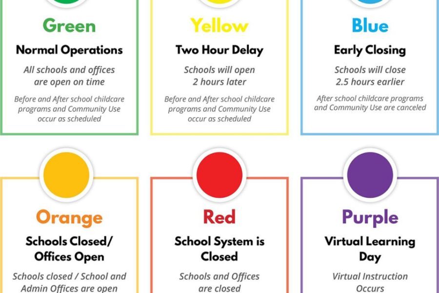
Schools: We anticipate a mixture of delays and on-time openings, with odds of disruption increasing the further north you go. The odds Montgomery County delays is about 60%. Snow squalls: Expect brief scattered snow squalls late tomorrow afternoon that can cause travel disruption and minor accumulations. We’ll keep you updated tonight and tomorrow as the situation plays out.


