
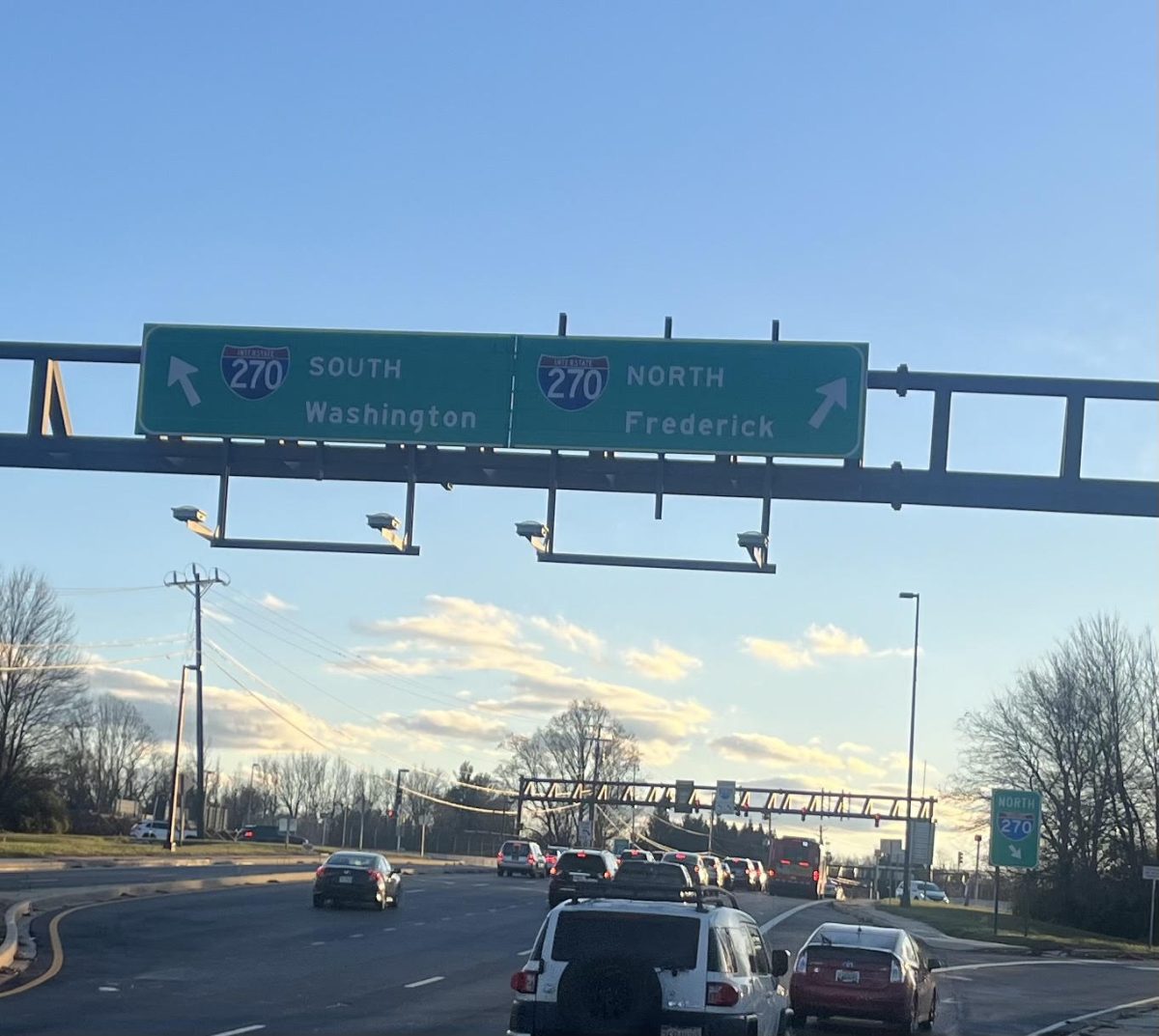
Based in Atlanta, the Ray is a nonprofit that sets ambitious environmental goals. Primarily, it aims to build net-zero highways, beginning with an 18-mile stretch of Interstate-85 located in west Georgia. One of the ways it plans on doing so is with right-of-way solar panels, a means of generating solar power that is built upon right-of-way land (areas of land managed by State departments of transportation and are essentially under public ownership).
However, before construction can even begin, usable land areas need to be identified. For this to happen, the Ray utilizes a solar mapping tool provided by Esri, a Virginia based company specializing in geographic information system (GIS) software. The tool identifies right-of-way areas that are most suitable for development, taking into consideration factors such as erosion, sunlight, and elevation.
The solar mapping tool not only allows the Ray to expand their search for possible right-of-way locations throughout the entire country, but also aids in predicting potential impacts of construction. Using the analysis provided by the tool, the Ray is able to simulate various structural plans for the solar panels; this then allows the organization to implement the plan with the lowest impact on surrounding communities.
GIS software has also helped quantify the amount of solar power certain land is able to generate. While working with the state of Iowa, The Ray was able to find that the 38,000 acres of possible land would be able to produce 5 million megawatts generated per hour, per year. In terms of money, this energy would be worth around $400 million.
So far, Georgia, Iowa, Massachusetts and Oregon are the states that have started programs that make use of highway right-of-way land. GIS serves as a promising device with future applications in not only highway solar panels, but also infrastructure development and construction as a whole. “I don’t know if there will be many observable short term impacts, but I think the transition to solar energy is definitely beneficial for preserving our climate,” sophomore Katie Diao said.
In addition to environmental benefits, the proximity of Esri may provide economic advantages to the DMV area. “The company is based in Virginia, which if successful could bring more jobs to the area,” said Diao.
While the Ray currently focuses on just one part of I-85 in Georgia, its work and the technology associated with it have the potential to transform the transportation industry.
If you would like to voice your opinion on an issue you feel is relevant to our community, please do so here. Anyone is able and welcome to submit a Letter to the Editor, regardless of journalistic experience or writing skills. Submissions may be published either online or in a print issue.